Features Tokyo Map Old 2020
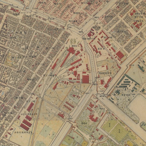
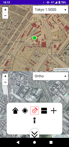
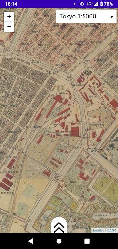
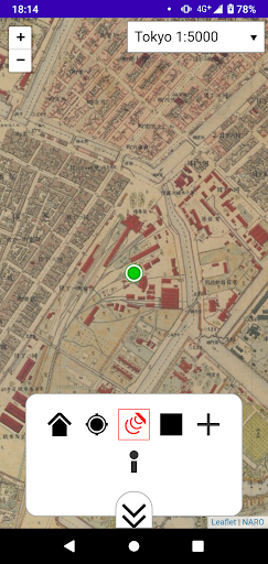
This software shows old map in Tokyo (1880s).This software also supports "my location", so you can see the old map where you really stand on (only when you are in Tokyo or Kanto Area, Japan).This software accesses "tile service" ( https://boiledorange73.sakura.ne.jp/ ) and GSI Tile ( https://maps.gsi.go.jp/development/ichiran.html ).You can enjoy following maps:"Tokyo 1:5000" - 1:5000 map in Tokyo Central.
Created on 1883 (Meiji 16).
"Rapid Survey Map in Kanto Plain" - 1:25000 map in Kanto Plain.
Created on 1880 (Meiji 13) - 1886 (Meiji 19).
Food & Dining
Discover recipes and order food from your favorite restaurants.
Parenting Tools
Track and manage your child's development and daily activities.
24/7 Support
Our dedicated support team is always ready to help you.
See the Tokyo Map Old 2020 in Action
Get the App Today
Available for Android 8.0 and above